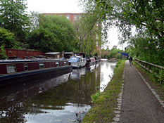
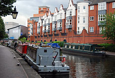
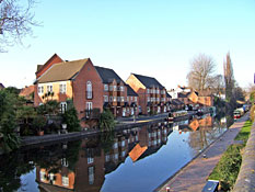
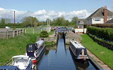
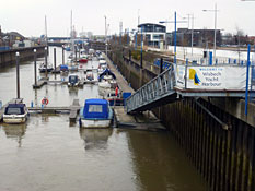
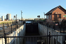
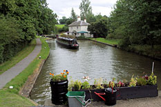
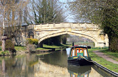
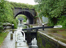
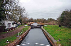
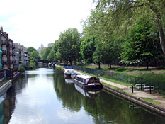
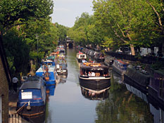
All navigable waterways in England, Scotland and Wales are displayed on this map. The colour and line type denotes the type of waterway and it's current status (see legend). Use the controls at the bottom of the window to zoom in and out and move around. The black box in the thumbnail image bottom left can also be dragged to re-position the map.
As you begin to zoom in to the area you are interested in, labels for each waterway will begin to appear. To see every available label you need to zoom to the highest magnification, this can be done quickly by clicking the right most control at the bottom of the screen.
Once you have located the waterway you are interested in, click on the label. This will display a panel with basic information such as the status of the waterway, navigable length, maximum craft dimensions and a link to the detailed Google Map information.